పరిచయం
This manual provides comprehensive information for the Rand McNally Road Atlas and Trip Planner 2000, a detailed guide for navigating the United States, Canada, and Mexico. This atlas is designed to assist travelers with route planning, city navigation, and understanding geographical layouts.
కీ ఫీచర్లు
- Over 150 State, Provincial, and City Maps: Detailed cartography for extensive coverage.
- Travel Information for More than 95 Cities: Essential data for urban areas.
- 42 Updated Airport Maps: Navigational aids for major airports.
- Road Condition Hotlines: Resources for real-time road status updates.
- Mileages & Driving Times: Accurate calculations for trip planning.
- Lays Flat, Stays Open Design: Enhanced usability for hands-free reference.
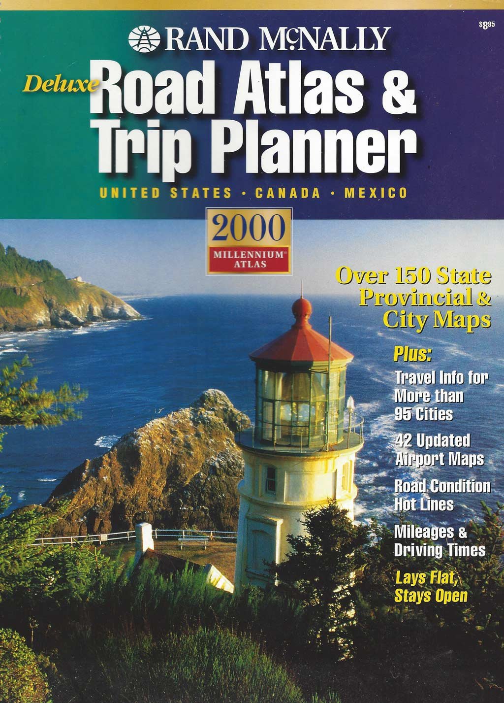
The cover of the Rand McNally Road Atlas and Trip Planner 2000 showcases its design and highlights its primary features, including extensive map coverage and travel information for various regions.
Understanding Your Atlas
The Rand McNally Road Atlas and Trip Planner 2000 is organized for intuitive use. Familiarize yourself with the following sections to maximize its utility:
- Map Legend: Located at the beginning of the atlas, this section explains all symbols, colors, and lines used on the maps.
- సూచిక: A comprehensive index of cities, towns, and points of interest, typically found at the back, helps locate specific destinations.
- State/Provincial Sections: Each state or province has dedicated pages with detailed maps and relevant information.
- City Insets: Larger cities often have magnified inset maps for detailed street-level navigation.
Navigating and Trip Planning
To effectively use your atlas for navigation and trip planning:
- Locate Your Starting Point: Find your current location on the relevant state or provincial map.
- Identify Your Destination: Use the index to find your destination and its corresponding map grid.
- Plan Your Route: Trace your desired route, noting major highways, interstates, and connecting roads. Pay attention to mileage markers and estimated driving times provided.
- Utilize City Maps: For urban areas, refer to the detailed city maps to navigate local streets and find specific addresses or attractions.
- Check Road Conditions: Use the provided road condition hotlines for up-to-date information on closures, construction, or weather-related issues.
- Airport Navigation: If traveling by air, consult the updated airport maps for terminal layouts and access routes.
సంరక్షణ మరియు నిల్వ
To ensure the longevity and usability of your Rand McNally Road Atlas:
- నిల్వ: Store the atlas in a dry place, away from direct sunlight or extreme temperatures, to prevent page warping or fading.
- నిర్వహణ: Handle pages carefully to avoid tears. The "Lays Flat, Stays Open" binding is designed for durability, but excessive force can damage it.
- శుభ్రపరచడం: If the cover or pages become soiled, gently wipe with a dry, soft cloth. Avoid using liquids or abrasive cleaners.
తరచుగా అడిగే ప్రశ్నలు
- Why are some roads not shown?
- The atlas focuses on major and secondary roads for general navigation. Smaller, unpaved, or private roads may not be included.
- How current is the information?
- This is the 2000 edition. While major geographical features remain constant, road networks and points of interest may have changed since its publication. Always cross-reference with real-time information for critical travel.
- What if a city or town is not in the index?
- The index includes major and significant locations. Smaller hamlets or unincorporated areas might not be listed individually but may be found within the broader map context.
ఉత్పత్తి లక్షణాలు
| ఫీచర్ | వివరాలు |
|---|---|
| ప్రచురణకర్త | రాండ్ మెక్నాలీ |
| ప్రచురణ తేదీ | సెప్టెంబర్ 1, 1999 |
| ఎడిషన్ | డీలక్స్ |
| భాష | ఇంగ్లీష్ |
| ప్రింట్ పొడవు | 176 పేజీలు |
| ISBN-10 | 0528841327 |
| ISBN-13 | 978-0528841323 |
| వస్తువు బరువు | 12.8 ఔన్సులు |
| కొలతలు | 8.5 x 0.5 x 11 అంగుళాలు |
| కవరేజ్ | United States, Canada, Mexico |
| Map Count | Over 150 State, Provincial & City Maps |
| Airport Maps | 42 Updated Airport Maps |
| City Info | Travel Info for More than 95 Cities |
మద్దతు సమాచారం
For general inquiries regarding Rand McNally products or to explore their current offerings, please visit the official Rand McNally website. As this is a 2000 edition publication, specific product support or warranty information may no longer be available.
For additional resources, consider searching for historical map data or travel guides from the period of publication.


